This GEO Mountains workshop sought to better understand the current interdisciplinary “data landscape” across the Caucasus region.
On 30 September, GEO Mountains hosted a workshop on Inter- and Transdisciplinary Mountain Data in the Caucasus: Identifying User Requirements and Access Preferences, as part of the Adaptation at Altitude global mountain programme.
Jointly convened by the Mountain Research Initiative (MRI), GEO Mountains, the University of Geneva, UNEP/GRID-Geneva, and the Scientific Network for the Caucasus Mountain Region (SNC-mt, coordinated by Sustainable Caucasus), the workshop sought to better understand the current interdisciplinary “data landscape” across the Caucasus region.
Co-Convener Nina Shatberashvili (Scientific Network for the Caucasus Mountain Region, coordinated by Sustainable Caucasus) described the complex political situation in the region and associated data sharing challenges, particularly amongst government agencies. While data is more available at global and national than subnational levels, there is considerable potential for scientific cooperation in support of sustainable development and similar objectives, and sound geospatial data infrastructure to underpin these efforts.
Mamuka Gvilava (GIS and RS Consulting Center GeoGraphic) provided several examples of observational datasets that respond to needs identified in the Caucasus Regional Research Agenda 2020-2030. He noted that “the Caucasus is often on the edge of [regional climate] modeling efforts: east of Europe, west of Asia, north of the Middle East.” Among other topics, the Regional Research Agenda focuses on biodiversity, climate change, forestry, land use and land cover change, tourism, and transboundary rivers. Historical natural hazard data and remotely-sensed glacier data are of particular importance.
Serhat Şensoy (Turkish State Meteorological Service) then presented the derivation of multiple climate indices from station data over the historical period, in addition to plausible future climate scenarios for the Caucasus. Following that, James Thornton and Yaniss Guigoz demonstrated the capabilities of the GEO Mountains and UNEP-GRID data inventories, respectively. Workshop participants then discussed mountain data user requirements, regional data providers, regional differences in data coverage, and major gaps in terms of data discoverability, accessibility, and usability.
Data coverage in the region remains somewhat lacking in certain regards, both spatially and temporally. For instance, most data sources are relatively recent, with many gaps over the last few decades, and many datasets are only available in aggregated formats. Key knowledge gaps identified relate to energy, natural hazards, water, and waste management.
Several experts noted the importance of transboundary approaches (in particular for hydrological observations at catchment level, linking upper and low-lying areas), and countries’ efforts to share data despite bureaucratic barriers to doing so. Participants stressed the critical importance of the World Meteorological Organization (WMO) and the Group on Earth Observations (GEO) in promoting regional data exchange.
In the spirit of sharing information, participants were invited to complete GEO Mountains' regional data needs survey, the results of which will be shared with the Caucasus mountain research community in the future. We would like to extend the invitation to complete the survey to all other stakeholders in the Caucasus.
We have also recently released the GEO Mountains Inventory of In Situ Observational Infrastructure; members of the community both in the Caucasus and around the world can submit information to both this and the GEO Mountains General Inventory using the following links:
Submit to GEO Mountains In Situ Inventory
Submit to GEO Mountains General Inventory
Read the workshop report here. Please note that the workshop report will be expanded to include the survey results once they are collated and analysed.
For any questions about the workshop, survey, or inventories, please contact james.thornton@unibe.ch.


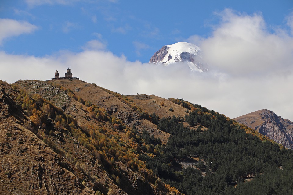
Image by Svetlana.